

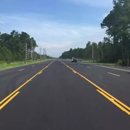
International Drive, Horry County, South Carolina
A major obstacle to development of this roadway was the requirement to protect the black
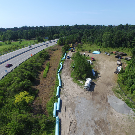
Waterline Interconnection, Grand Strand Water & Sewer Authority
This project involved the planning, modeling, final design, and regulatory approvals for a triplex 18,000
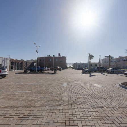
Arts and Innovation District, City of Myrtle Beach, South Carolina
The streetscape included realigning and redesigning roadways to include wider sidewalks, on-street parallel parking, and
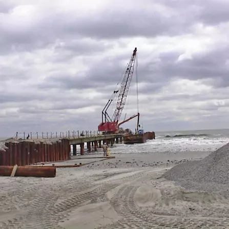
Hillside Ocean Outfall, City of North Myrtle Beach, South Carolina
The existing Hillside Drive roadway was raised 3 to 4 feet above existing grade to
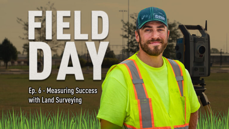
Measuring Success with Land Surveying – Field Day Ep. 6
Today we’re stepping into the field to learn about land surveying with Dan Perna, a
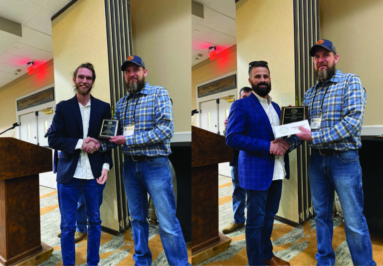
Petrarca & Breese Honored by NC Society of Surveyors
We are proud to announce that our Southeast land surveying team has taken home five


Energy Services: Expert Solutions for Your Projects
Bolton & Menk provides a variety of services in energy and land surveying. Their land
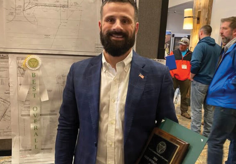
Scott Petrarca Wins First Place in NSPS National Contest
We’re thrilled to share that Scott Petrarca has earned first place in the Miscellaneous Category
Youngsville Team Relocates to Wake Forest, North Carolina
Since 1999, our Youngsville location has proudly provided land surveying and UAS-related services to the

Eichers Receives 2025 MSPS William Kelley Memorial Award
Congratulations to Mike Eichers on receiving the 2025 Minnesota Society of Professional Surveyors (MSPS) William
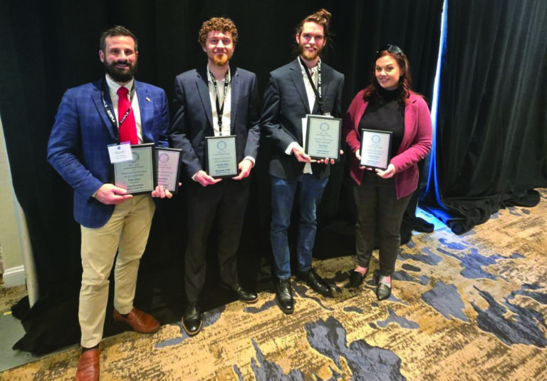
Conway Team Wins Multiple Awards in SCSPLS Plat Contest
Our Conway team secured several awards at the South Carolina Society of Professional Land Surveyors