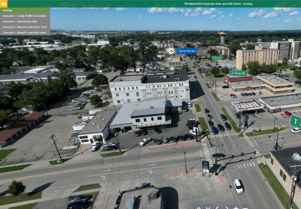
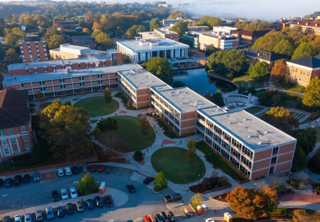
Aerial view of a busy city intersection with multi-lane roads, crosswalks, buildings, businesses, and parked cars. Direction signs and concept labels for traffic plans are overlaid on the image.

360 Degree Panoramic of University Drive and 10th Street Corridor Study

Step inside these 360 degrees panoramic experience to explore the University Drive and 10th Street Corridor Study in Fargo, ND. This interactive view brings proposed concepts to life, offering an… [ Read More about 360 Degree Panoramic of University Drive and 10th Street Corridor Study ]

Aerial view of a small town with tree-lined streets, brick buildings, a water tower, parked cars, and vibrant murals on some walls; farmland and greenery surround the town.

Building Momentum Through Public and Private Partnerships in Algona

For many Iowa cities, downtown street reconstruction projects begin as responses to aging pavement, outdated utilities, and necessary accessibility updates. Now more than ever, communities are regarding these investments as… [ Read More about Building Momentum Through Public and Private Partnerships in Algona ]