


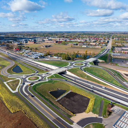
Highway 10 Ramsey Gateway, Anoka County, Minnesota
Today, the corridor supports long-term growth, improved emergency response, and a safer future for all

Today, the corridor supports long-term growth, improved emergency response, and a safer future for all
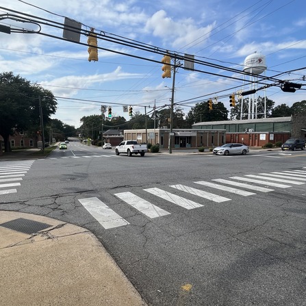
Improvements will help the City of North Mankato continue to maintain a functioning, yet safe,

“Mike, Les, and the rest of the team have been impressive with the advancement of
Bolton & Menk successfully developed a comprehensive safety action plan for Boiling Springs and secured