

Home / Geographic Information Systems
services
- GIS Project & Technical Management
- ArcGIS Enterprise Implementation
- GIS Web Application Development
- Desktop GIS Customization
- Data Automation & Analysis
- Geospatial Data Collection
- UAV Services & Remote Sensing
Geographic Information Systems
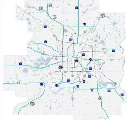
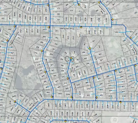
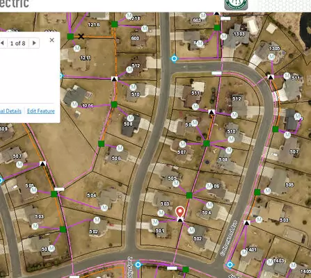
We have a passion for solving problems and making sure you have information you need to care for your community. Our GIS team helps you truly understand the power of geospatial tools and how they can help save time and money. GIS combines mapping and database technology. GIS users can interact with technology and each other, making it easier for departments to work together and share information with the community. With so many benefits, we use GIS in all our service areas.
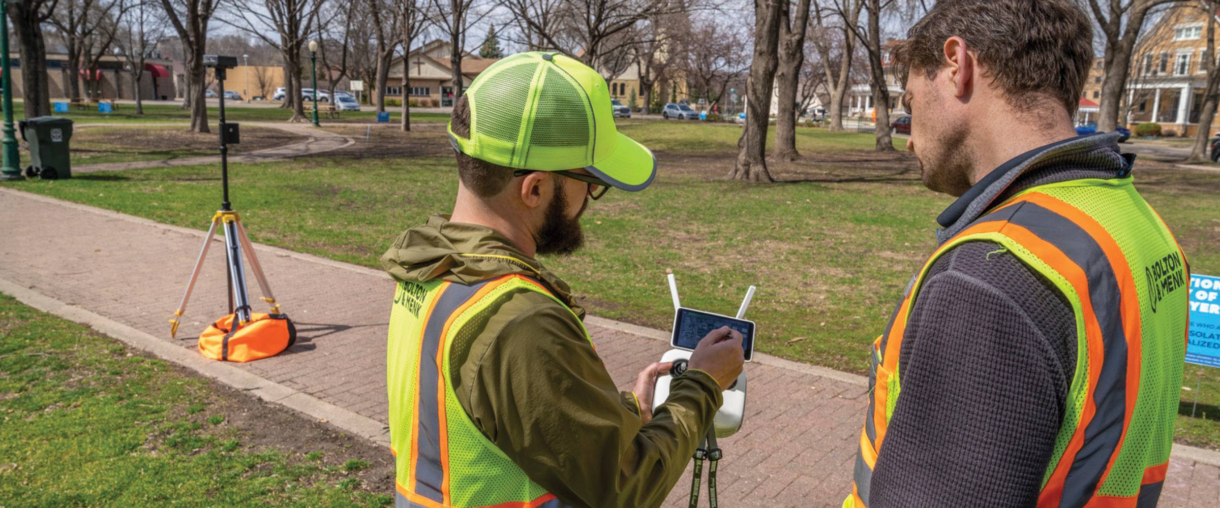
Bolton & Menk is the premier GIS provider to local government agencies; our combined understanding of local government and GIS technologies allows us to provide innovative solutions. Whether you want to develop new GIS initiatives or find ways to improve existing systems, our team of Certified GIS Professionals (GISPs) is up to the task. We also have a team of licensed remote pilots to efficiently gather terrain data from an aerial perspective. As your needs change, we continue to add services and capabilities to stay on the leading edge.
