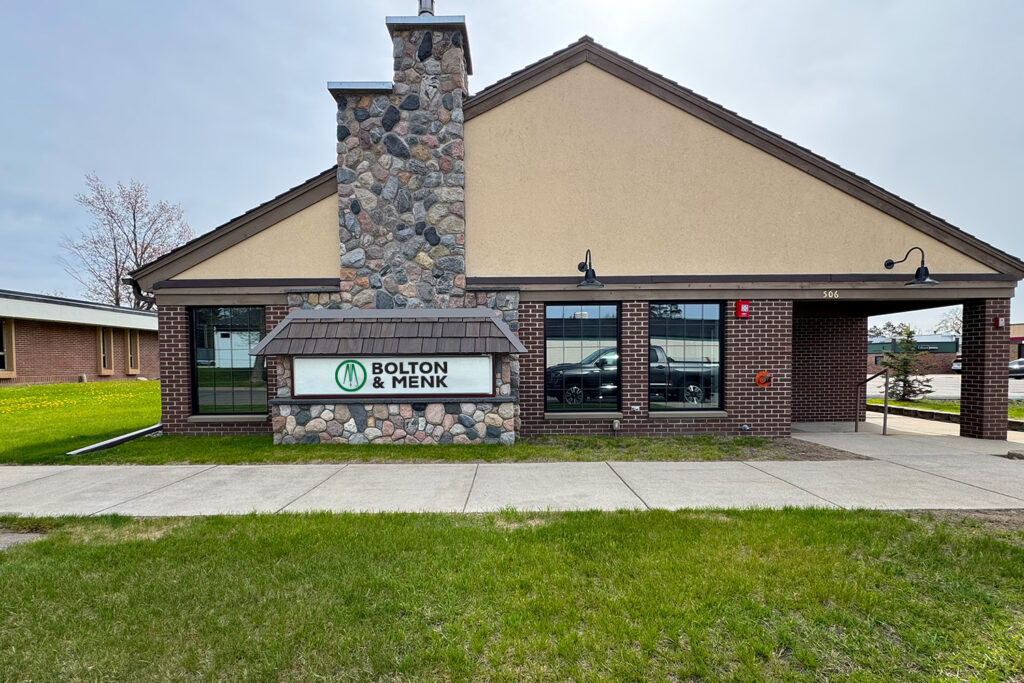
Bolton & Menk Expands Grand Rapids, MN Presence with New Location
Three years ago, Bolton & Menk opened a downtown Grand Rapids office to better serve communities across northern Minnesota. Since then, our team has grown, our local partnerships have deepened,… [ Read More about Bolton & Menk Expands Grand Rapids, MN Presence with New Location ]