


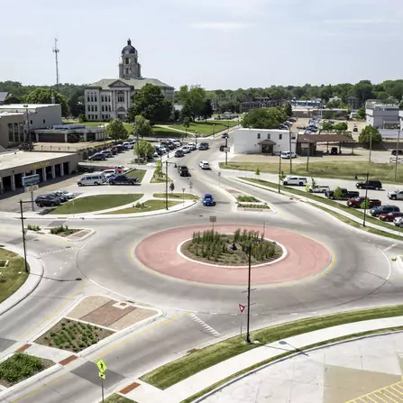
17th Street N Corridor Study in Moorhead, Fargo-Moorhead Metropolitan Council of Governments
Bolton & Menk and Toole Design conducted a study to ensure the corridor accommodates existing

Bolton & Menk and Toole Design conducted a study to ensure the corridor accommodates existing
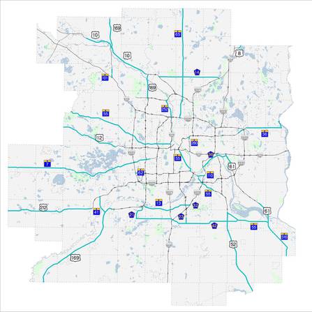
Use of GIS services provided an efficient method to evaluate over 350 intersections to a
Bolton & Menk has just done an outstanding job coming up with the ideas, working

This federal aid project provided much needed safety, traffic operations, and freight movement improvements to