

Sewer Basin Plans for Oconee Joint Regional Sewer Authority (OJRSA), Oconee County, South Carolina
The Bolton & Menk team worked with us every step of the way for the

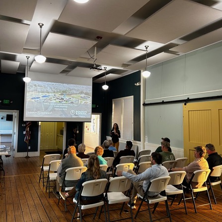
Gen H Comprehensive and Master Plan, City of Hendersonville, North Carolina
The comprehensive plan and downtown master plan set a transformative framework for sustainable growth, historic

Transportation Management Center and I-29 SMART Corridor, NDDOT
“Mike, Les, and the rest of the team have been impressive with the advancement of
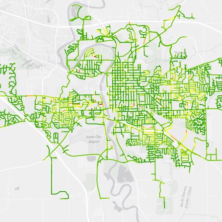
Water Distribution Pressure Zone Improvements, City of Iowa City, Iowa
This custom GIS-based prioritization tool provides a common platform and standardization across multiple data sets.

Clemson Martin Hall Sector Study 360 Degree Panoramic
Bolton & Menk partnered with Clemson University to assess options for addressing the ageing Martin
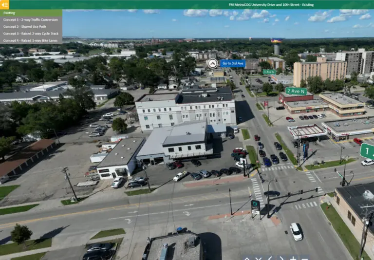
360 Degree Panoramic of University Drive and 10th Street Corridor Study
Step inside these 360 degrees panoramic experience to explore the University Drive and 10th Street

Asset Management: How Can It Improve Your Winter Operations?
Most communities use some form of asset management inventory tracking system to maintain inventories of
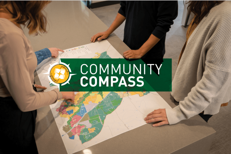
Planning Your Future with GIS Mapping
Many know Geographic Information Systems (GIS) as a mapping tool. While GIS mapping is still

Bolton & Menk on the Board: The Value of Board Service
At Bolton & Menk, the impact of our work does not stop when a project

Bolton & Menk on the Board – 2025 Q4
Bolton & Menk team members are taking active roles on industry boards, where they help
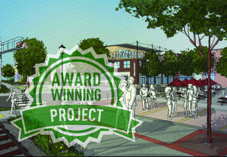
Gen H Honored with 2025 APA-NC Marvin Collins Planning Award
The Gen H Comprehensive Plan has been awarded the 2025 Marvin Collins Outstanding Planning Award

Real Opportunity: Exploring New Horizons
In our new Real Opportunity series, we explore the inspiring journeys of dedicated professionals who