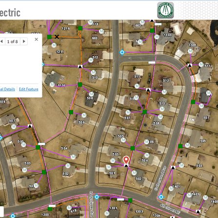
GPS Collection and Electrical Web GIS Application, City of New Prague, Minnesota
Access to information through an ArcGIS for Server application was provided, complete with attribute editing


Access to information through an ArcGIS for Server application was provided, complete with attribute editing
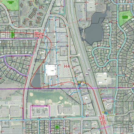
An accurate GIS data set was created for the Stillwater water department to reference for
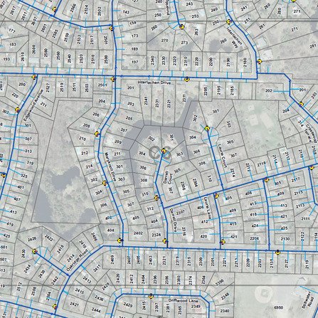
A web GIS application was developed for all city staff to access departmental data.
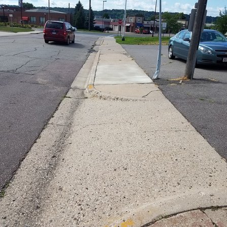
This multi-agency effort includes evaluating approximately 165 miles of sidewalk, 65 miles of trails, and

Bolton & Menk offers a wide range of GIS services, including technical support, Python development

GeoCV™ (Catalogued Video) is a web-based application developed by Bolton & Menk that integrates high-resolution video
GeoCP™ 360, developed by Bolton & Menk, is a web application designed to record interactive
GeoCP™ (Catalogued Photos) is a web application designed to enhance the management and viewing of