

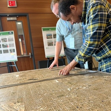
TH 47 and TH 65 Planning and Environmental Linkages Study, MnDOT Metro
There are numerous safety issues along the corridors, and fatalities are well-above the state and

There are numerous safety issues along the corridors, and fatalities are well-above the state and
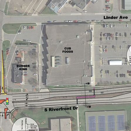
A powerful guide was created for project implementation along Riverfront Drive that will allow for

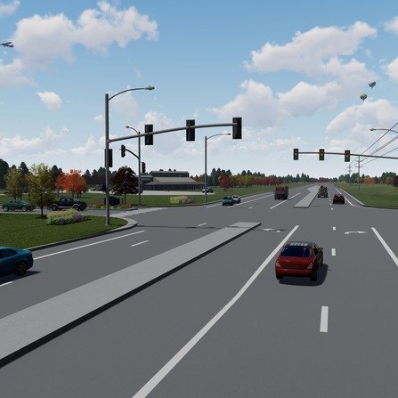
This federal aid project provided much needed safety, traffic operations, and freight movement improvements to
Bolton & Menk worked with the University of Minnesota Landscape Arboretum to evaluate initial transportation